This blog will chronicle our (Pat and Patty Anderson's)
cruising adventures on the Great Loop!
DAY 216 - November 3, 2017
Our day started with a beautiful sunrise at Cedar Key!
 |
| Sunrise at Cedar Key! |
While we were having breakfast, a number of similar boats were heading out. We had seen the same boats yesterday. As one passed by us slowly and close enough for me to yell to the operator, I asked what the boats were used for. He replied they were for clamming and oystering. Note the position of the outboard engine - can you still call it an "outboard" when it is mounted this way?
 |
| Clamming - oystering boat at Cedar Key- outboard power head is right behind operator near the bow! |
Once out in the Gulf, we got far enough offshore to avoid the really shallow water closer in. The weather is still holding for us - absolutely beautiful cruising conditions, which is forecast to continue through next Wednesday, which will allow us to get back inside the Gulf Intracoastal Waterway at Tarpon Springs! Once again, we had an uneventful cruise in the Gulf down to the entrance to the channel to Crystal River, with the most challenging thing being to avoid all the crab floats!
 |
| Screenshot of Cedar Kay to Crystal River track |
The channel into Crystal River is about nine and a half miles long. We were expecting to see crystal clear water, but all the way in from the Gulf to Kings Bay, the water was murky. The whole channel had speed limit signs and warning signs about manatees. We did not see a single manatee all the way in to Kings Bay. We anchored behind Pete's Pier Marina off the municipal boat ramp symbol (no boat ramp was visible) and then re-read Skipper Bob and Active Captain. These both said we would see lots of manatees in Kings Bay, and made it sound like they would be frolicking in the bay near our boat.
 |
| Screenshot of Crystal River anchorage - boat ramp symbol to right is municiapal boat ramp, but not visible from the boat! Garmin Blue Chart Mobile does not show any detail about what is on the shore. |
 |
| Signs on bridge over channel leading to Three Sisters Springs |
We then Googled how to see manatees at Crystal River. What we ultimately gleaned was that the best place to see manatees was at the head of the Crystal River at a spot called Three Sisters Springs, where there are numerous fresh water springs that feed the river. So we pulled anchor, motored over to a spot just outside the channel leading to Three Sisters Springs, and got the kayak down.
It was a long paddle up the channel, but finally we came to the entrance to Three Sisters Springs, which is a wildlife reserve that has vertical pipes at the entrance that are spaced to allow kayaks or canoes to enter but prevent anything wider from entering. There is a boardwalk around the entire area for viewing from the shore. There also are all kinds of signs posted by the National Wildlife Service with the rules for interacting with manatees. The water here was indeed crystal clear, and we were hopeful that we would see manatees at last! People on a commercial manatee djve boat tour out at the entrance told us there were indeed quite a few manatees in Three Sisters Springs.
We did not see manatees. More accurately, what we saw was "manatee." Just one, and he or she was very inactive. We tried to rake a photo, but although the water was clear, it was in a shaded spot, so the photo is hard to make out. We had seen a lot more manatees back at Honest John's Fish Camp in Melbourne Beach on the Atlantic ICW.
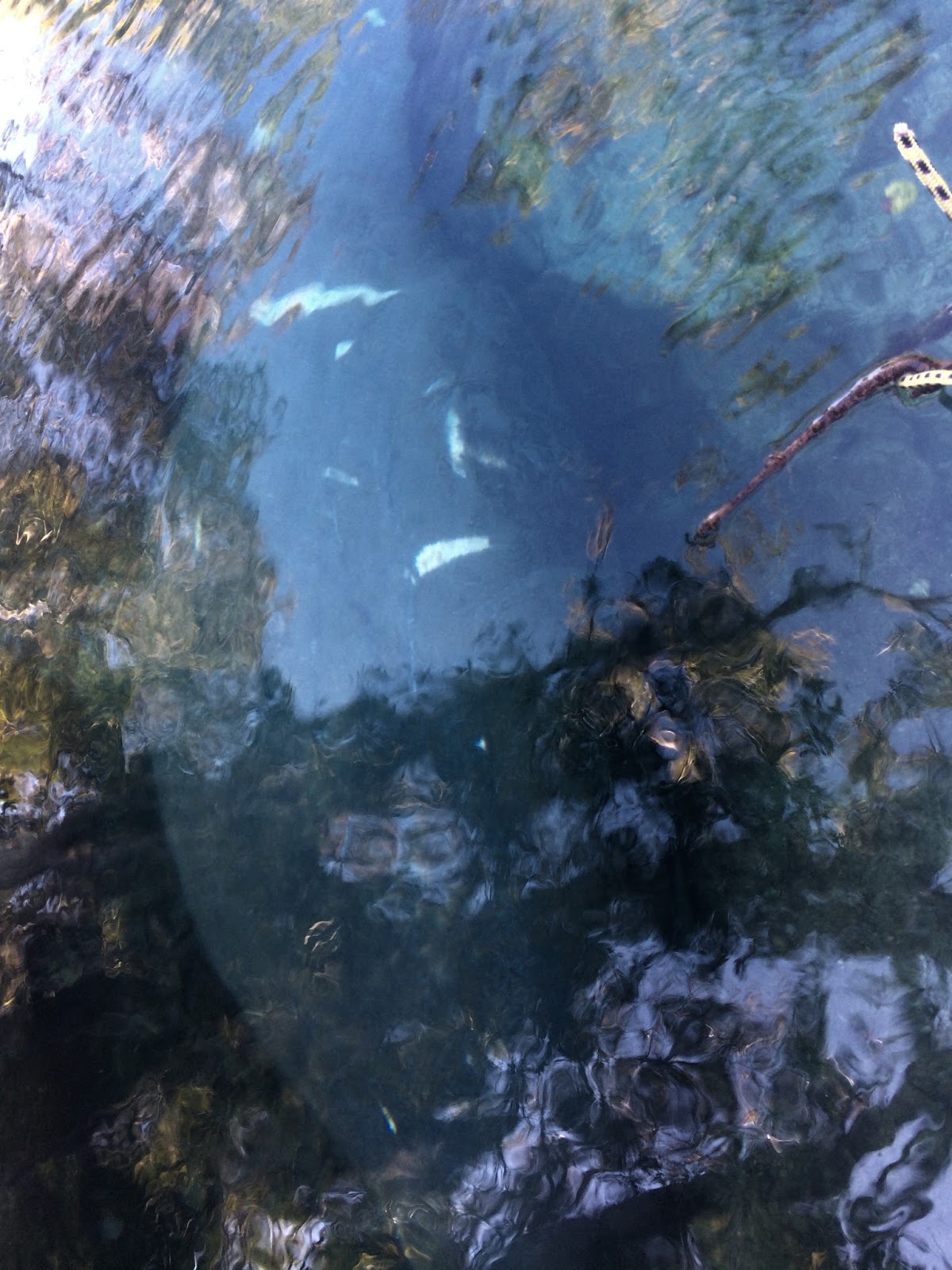 |
| Manatee at Three Sisters Springs, looks like he/she has propeller scars on back! |
So we pulled anchor, and motored back to our original spot. I loaded Baxter in the kayak and went looking for the city boat ramp. I found the remnants of an old boat ramp, but it had a chain across the top and the area above was freshly graded and obviously in the process of being developed for some other use. Baxter hopped out, turned around and hopped right back in the kayak! So I paddled along the shore until I came to some people on a deck, who directed me to the city boat ramp, which was between a dive tour service and a restaurant, and the ramp was quite a ways back at a right angle. Having found the ramp, all was good for the dog, and now it will be easy for tomorrow morning's shore visit!
There were restaurants, bars, ice cream parlors, dive tour services, motels and a crab processing plant around the shore where we were anchored, but a highway went past, on the other side and there was no town like Cedar Key anywhere in sight. If there had been, we possibly would have stayed another day to check it out. All in all, we were very seriously disappointed in Crystal River.
If it's not too late, I highly recommend the Crab Factory's little restaurant. It's in the middle of that crab processing plant.
ReplyDeleteI was here in June and only saw a couple of Manatee also -- and never very close. But we ran into several alligators -- both swimming and sun-bathing. And a Water Moccasin swimming across one of the many canals.
We liked the place but had to. We bent both props and had to wait for them to be repaired. So we were stuck for a week.
Oh, and there's great Florida State Archeology Park you can approach in your kayak. It has huge Indian shell mounds. You can see the largest shell mound from the water.
ReplyDeleteAll things considered, suppose we got fortunate with the ascent of internet shopping sites. eat n park breakfast buffet time
ReplyDelete